
Aims of Afar Rift Project
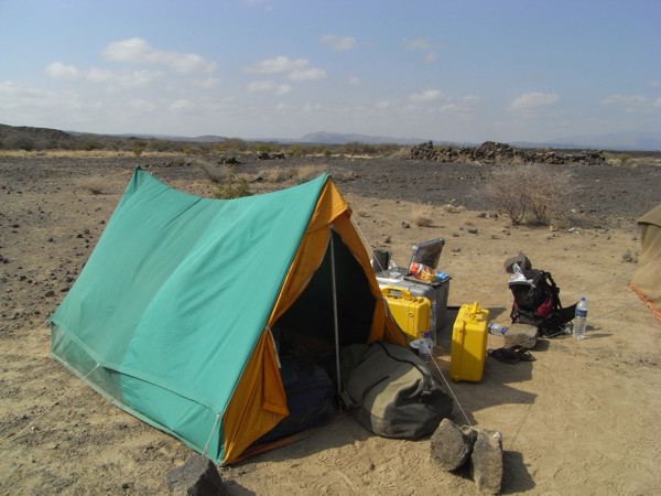 Dabbahu rift field camp - accessible only by helicoptor. Photography by Talfan Barnie.
Aims of the Afar Rift Project
1. Use geophysical techniques to develop a three-dimensional picture of the geological structure across the Afar region and to determine where magma forms and ponds within the earth.
2. Use geochemical techniques and petrological studies to determine the composition of magmas and how they evolve.
3. Use geochronological techniques and petrological studies to work out when previous eruptions have taken place and to determine the timescales over which magma evolution has occurred.
4. Use geodetic, seismic and remote sensing data to determine how the magma moves through the Earth.
5. To combine the results from the above to determine the mechanisms of magma movement that allow the lithosphere to extend, the crust to evolve and grow as the plate split apart.