Afar Rift Home Page
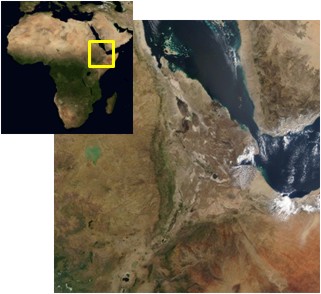
Map of the Afar region. Inset: Africa
The Afar Rift, Ethiopia
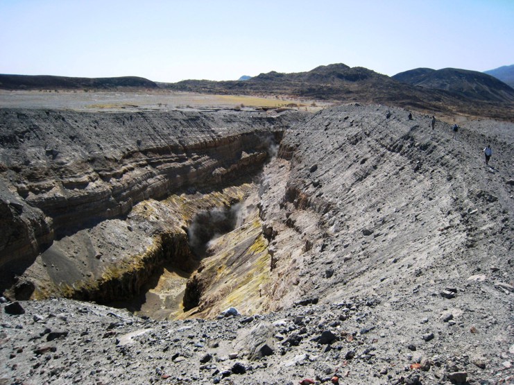
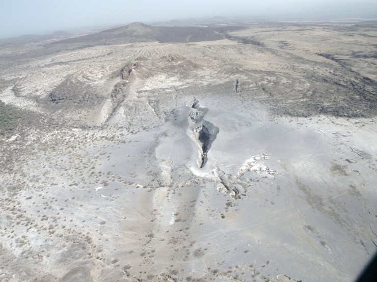
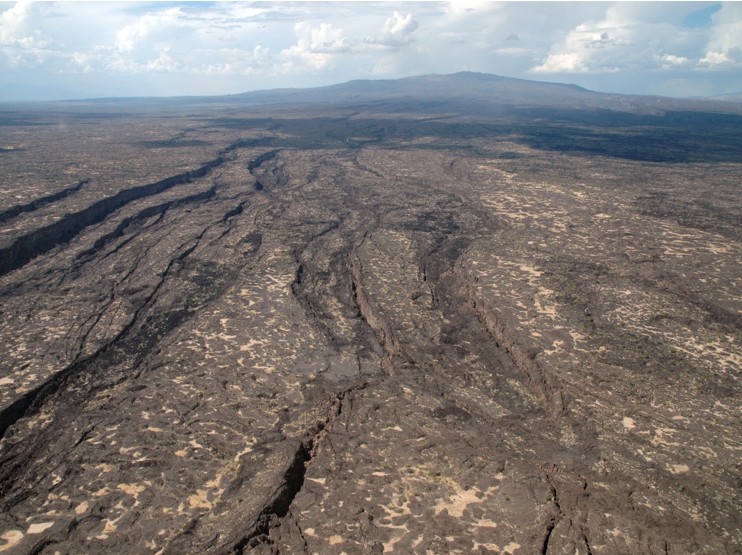
In the remote Afar depression in northern Ethiopia, the African Continent is slowly splitting apart and a new ocean is forming.
In September 2005, a series of fissures opened along the Afar Depression. Over 10 days, the rift pulled apart by eight metres. Local people told of a series of earthquakes and how ash darkened the air for three days.
This process of ocean formation is normally hidden deep beneath the seas, but in Afar we can walk across the region as the Earth's surface splits apart.
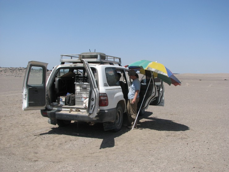
The Afar Rift Consortium is a project funded by the UK Natural Environment Research Council (NERC). The consortium is made up of scientists from the Universities of Leeds, Bristol, Oxford, Edinburgh, and Cambridge, and the British Geological Survey, with partners in Ethiopia, France and the US. Its aim is to conduct a major set of experiments in this unique natural laboratory, to further understand the processes involved in shaping the surface of the Earth.
NEWS
MAGMATIC RIFTING AND ACTIVE VOLCANISM CONFERENCE, JANUARY 2012
The conference was held in Addis Ababa, Ethiopia between 11th and 13th January to mark the end of the five year Afar Rift project. For more details follow the link.
Do you want to hear an earthquake?
Click here for the audio recording of a series of earthquakes along the Gulf of Aden in November 2010 and click here for a more detailed explanation and more earthquake noises