
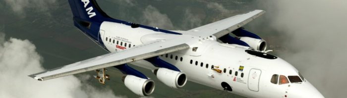
The UK Facility for Airborne Atmospheric Measurements (FAAM). Image credit FAAM.ac.uk
As part of the INCOMPASS project (sister project of BoBBLE), the UK Facility for Airborne Atmospheric Measurements (FAAM) jet flew past the ORV Sindhu Sadhana on 27 June 2016, to get a profile through the lower atmosphere.
Mission Scientist and School of Earth and Environment Joint Met Office Professor of Metereology Doug Parker was on board along with Dr Andy Turner from the University of Reading and Professor GSA Bhat from the Indian Institute of Science, Bangalore, joint leads on the project. Andy shares his first-had experience of this ambitious flight…….
“B966 flying east over the Bay of Bengal to meet the Indian research vessel Sindhu Sadhana was a very ambitious flight, but was conducted almost exactly according to plan, and yielded some very exciting data. We had the honour of being the first British research aircraft (including Indian scientists) to work in cooperation with an Indian research ship (including British scientists).
We woke up this morning to the prospect of a line of deep convection crossing the flight path, but over the hours before take-off this line decayed on its south-western end (while building to the north), to the extent that it seemed reasonable to proceed with the planned flight. All the same, we developed options B and C, for the contingencies of being delayed over the ocean by bad weather (and therefore not having sufficient time to meet the ship).
We took off 10 minutes early, at 0519Z/1049L, and conducted a high-level transit towards the ship, at an altitude and speed optimising fuel consumption. There were very extensive stratiform layers at all levels, presumably representing detrainment from convection. Satellite image updates to the aircraft confirmed that the convective lines were developing towards the north-east, leaving our track clear, and this was indeed the case: we saw the storms to our left, and extensive stratiform outflow above the aircraft.
Approaching the location of the ship, the stratiform layers beneath us generally cleared, leaving clear views below to the boundary layer cumulus and the ocean beneath. Cloud streets were aligned along the wind.
Descending towards a waypoint north of the ship, we were able to reach the vessel on the radio, and confirm positions and timings. We profiled down to 50ft above the ocean then commenced a run at 1000ft towards and past the ship from the north. We first saw the ship on the aircraft radar, then visually, before passing just to the west of the ship (upwind). We made reciprocal runs on the same course at 300 feet and 100 feet above the sea, in order to compute flux profiles, followed by a run at 5,500 feet to scan the cloud and boundary layer with the lidar. In amongst all this, I was able to have a good chat with my old friend Adrian Matthews (on the ship) via the radio. Prof Bhat on the aircraft was able to request a radiosonde to be released from the ship immediately after our departure from the area. Finally, being ahead of the plan on fuel, the pilots were able to give us an additional profile descent past the ship, to survey through the cumulus layer.
We transited back to India at a level of 17 kft, above the freezing level. For most of this run, lidar had a clear perspective down to the surface and was able to observe stratification in the clear air and the variability of the shallow cumulus. Much of the earlier cloud had cleared, and the situation was rather representative of typical rain-shadow conditions.
Approaching land, Chris Taylor took over the MS1 seat. We profiled down to 50 ft above the sea, then crossed the coast at the safety level before descending to 500 ft for a land-atmosphere survey inland. Very distinct and remarkable boundary layer contrasts were observed over the varying land-use and irrigation patterns. Core chemistry observed a number of significant features including abrupt CO2 variations, possibly linked to the draw-down by vegetation. An area of insect impacts on the windscreen may have been evidence of mesoscale uplift in the boundary layer. Approaching HAL, we encountered showers, and some downdraught air from mid-levels.
In summary, the flight was conducted almost exactly as planned, and the weather conditions smiled on us, to give us the opportunity to get exactly the datasets we had been aiming for. A great deal of effort by a lot of people went into the planning of this flight: I think it’s been an important milestone in the MONSOON programme, and I am very grateful for having had the chance to fly on it.
Back to Lucknow tomorrow, and farewell to Bengaluru: thanks to everyone who made us feel so welcome here.