
The Alps, as most other collision mountain belts, can be divided into an external and internal zone. The external consists of rocks that are relatively weakly deformed and metamorphosed. Study of these areas provides us with an understanding of how rocks deform in the upper crust, near to the Earth's surface. The internal zones consist of rocks that are much more complex, having been deformed several times under metamorphic conditions. The metamorphism results from these areas having once been deeply buried. Consequently the internal, metamorphosed Alps provide examples of rocks that deformed in the deeper crust.. Additionally, the internal zone includes the suture between the two, originally distinct continental blocks whose collision initiated the mountain building and deformation we see today. This part of the mountain belt also contains highly altered remnants of the ocean floor that once separated the two continents. The now-vanished ocean is called Tethys. Apart from the zones of different complexity that represent different parts of the orogen, there is another fundamental division that can be made - basement and cover. Alpine basement is crystalline material, metamorphic and igneous rocks, that derive from an earlier period of tectonism, some 300 million years ago. It is overlain unconformably by sediments that would have been undeformed by mountain building events were it not for the Alpine orogeny. These sediments are called cover. Additionally there are young sediments derived from erosion of the growing Alpine mountain chain. This syn-orogenic material is called molasse (sometimes flysch if it was deposited in deep water).
Now we can study these variations along a transect, starting in the external zone and then moving into the internal Alps. This will take us in a jerky journey from the WNW near Lyon and Geneva, to the ESE and the ski resorts of Val d'Isere and Cervina. The external Alps mostly comprise cover sediments, essentially limestones, that form the craggy hills of the Jura and Subalpine chains. More easily eroded molasse sandstones lie in valleys between. Further east the basement to these materials is exposed in higher ground, most spectacularly at Mont Blanc. The basement forms distinct terrains - or massifs, that represent particular structural locations.
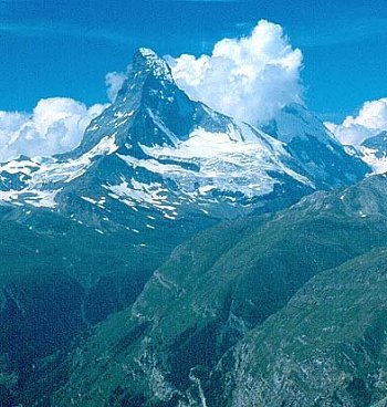
The boundary between the External and Internal Zones is a major fault, called the Frontal Pennine Thrust. The rocks to the east are derived from the old margins of the two continents together with the old ocean floor. All these materials include both cover and basement which can be either tightly interleaved or remain as distinct massifs. The metamorphic condition of some of these rocks suggest that they have been exhumed from depths of over 100km, but more generally they have come from about 15 km down. Much of this geology is, at the surface today, covered with ski resorts such as Cervinia and Val d'Isère.
There is little suitable reference material for you to consult on the geology of the Alps. Aspects are summarised in the OU text referred to in the list of recommended source books.
The map included with these notes is a very simplified representation of Alpine geology. All the External and Pennine units were once distinctly part of Europe, while the Austroalpine sheets were part of Italy, the two separated by an ocean (part of Tethys). The 'suture' between the two continents is a major zone of deformation called the Austroalpine thrust (AAT). The sheets of ocean floor material (called the Piemont nappe) were emplaced tectonically onto the European continental margin along a structure called the Piemont thrust (PT). Various parts of the mountain belt are named. Three important massifs, dominantly of basement rocks, crop out within the Internal Zone: MR - Monte Rosa; GP - Gran Paradiso; DM - Dora Maira.