Three River Hills
The web plugin for this landscape no longer works in modern browsers and cannot be updated. Instead you can download the standalone version,
unzip and run the exe file (administrative access is not required).
For more information on using the Virtual Landscapes in class
check out our Teach the Earth page.
Instructors can also access suggested exercises and worked answers there.
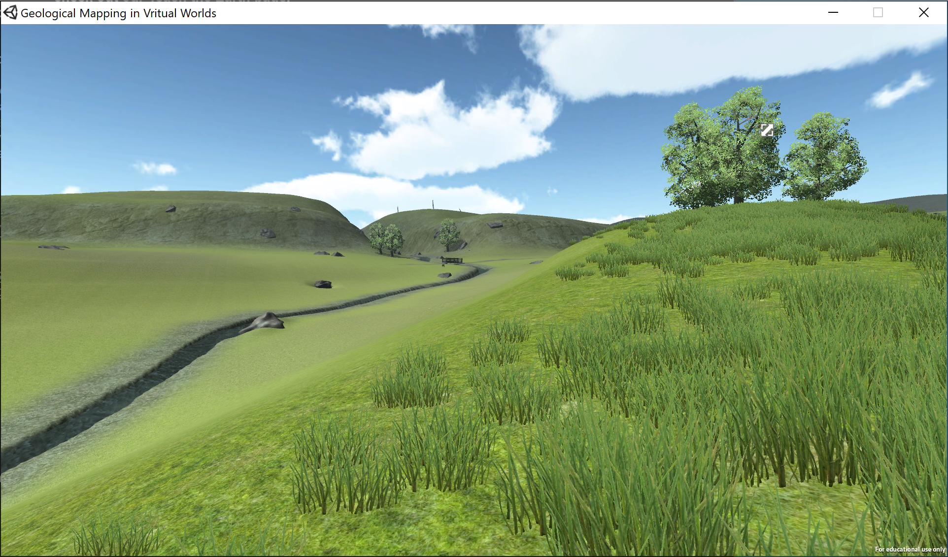
Virtual Training Environment for the collection and recording of field data on a field map.
Houghton JJ; Lloyd GE; Robinson A; Gordon CE; Morgan DJ (2015) The Virtual Worlds Project: Geological mapping and field skills, Geology Today, 31, pp.227-231. doi: 10.1111/gto.12117 Robinson A; Gordon CE; Houghton J; Lloyd GE; Morgan DJ (2015) ArcGIS to Unity: A design pipeline for creation of 3D terrain in serious egames for geology, Geology Today, 31, pp.237-240. doi: 10.1111/gto.12121 |
Instructions Arrow Keys or WASD keys - to control movement |
|
Contact Project Lead - Jacqueline Houghton |