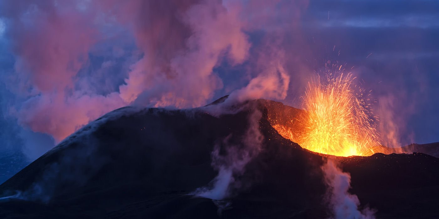
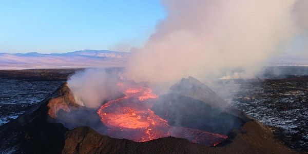
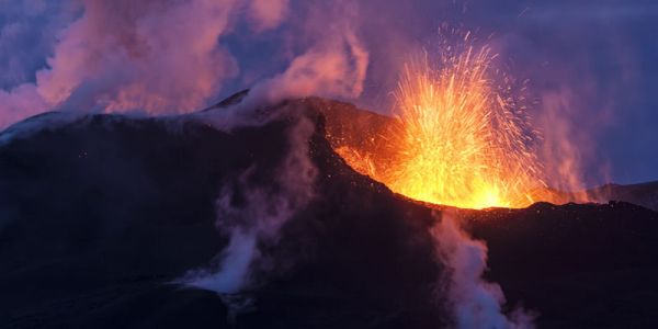
School of Earth and Environment

Satellite-derived gravity studies of the Equatorial and South Atlantic Oceans (with Professor Derek Fairhead, GETECH)

The satellite free air gravity (after Sandwell and Smith, 1997) of the Central, Equatorial and South Atlantic Oceans with some of the main morphological features and islands named.

The satellite free air gravity (after Sandwell and Smith, 1997) of the Central, Equatorial and South Atlantic Oceans with some of the main morphological features and islands named. The concept of deep mantle plumes and the hotspot frame of reference has been used extensively in the scientific literature to help explain areas of volcanic over-production within the oceanic crust such as linear chains of oceanic islands and seamounts. Improved resolution of the satellite-derived free air gravity field of the oceans, combined with new GPS plate motion data and our extensive knowledge of tectonic processes within the adjacent continents of Africa and South America, has provided a unique opportunity to re-evaluate the complex processes involved in the opening of the Central and South Atlantic. We have developed a new geodynamic model based on the premise that that during the opening of the Atlantic Ocean the differential motion between plate segments is principally absorbed within the Caribbean and an extensive 'passive' Mesozoic-Cenozoic rift system in West and Central Africa. Within the African rift basins changes in stratigraphy directly relate to changes in the state of stress within the African plate, brought about by changes in plate motions, to accommodate plate interaction elsewhere on Earth (India-Eurasia and African-Europe collisions). These major plate interactions are clearly seen in the fabric of the Atlantic oceanic crust as changes in flowline directions indicating relative plate motions. It is our opinion that these changes in the internal stress state of plates, both large and small, trigger changes in Mid-Atlantic Ridge (MAR) magmatic processes that cause excess volcanism (seamounts and volcanic islands on a range of scales from small-scale V-shaped volcanic trails centred on the mid-oceanic ridge at the time of formation, to large-scale features, e.g. the Walvis Ridge and Rio Grande Rise). For the large-scale features the bathymetric/gravity morphologies suggest they developed as a result of periodic releases of plate stress along shear/wrench/extensional deformation zones which penetrated short distances into the plate from the contemporaneous MAR axis or as a consequence of excess MAR volcanism that has similar age to the underlying oceanic crust. This interpretation qualitatively fits the available gravity and plate motion data. This model has clear implications that can be tested; it also has some unexpected predictions such as changes in lithosphere (plate) - asthenosphere relative motions across the major Equatorial fracture zone. The small-scale features clearly show symmetry about the ridge axis whereas the large-scale features do not. During the formation of the large-scale features the state of stress in the adjacent plates may be different, such that stresses can be low in one plate (e.g. explaining the lack of a conjugate of the St Helena Seamounts-Cameroon Volcanic Line) or different (e.g. explaining the asymmetry of the Walvis Ridge and Rio Grande Rise). The St. Helena Seamount chain is perhaps the only large-scale feature that might have its origins as a simple plume trace, but even this has been overprinted by younger Tertiary volcanic events (Cameroon Volcanic Line) related to changes in stress within the African plate. The need for higher resolution satellite gravity images is recognised and will help with further refinements of the model by quantitative analysis. Both these activities are currently in progress.

Marjorie Wilson's home page

Magmatic Processes Research Group