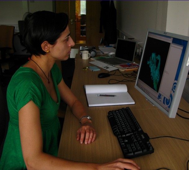
Carolina Pagli (Leeds) analysing satellite data to interpret variations in the height of the ground related to the movement of magma beneath. Photograph Andrew Smith, University of Leeds.
Experimental Programme Working Group D:
How magma moves through the crust and mantle (kinematics)
Geodesy: This involves the measurement and mapping of the Earth's surface. In an region like Afar, the Earth's surface rises and falls due to the movement of magma along the rift. Measuring these changes and studying the deformation of the ground surface caused by them, gives information on the location and movement of the magma. These measuremants can be done in a variety of ways:
InSAR will measure surface height across the whole Afar region. These data will be used produce a series of maps showing east-west and vertical deformation over time.
Ten continuously-recording GPS instruments are in place across the Dabbahu rift. These record data every thirty second and show horizontal and vertical movements - uplift at the Gab'ho volcano is currently 60cm per year.
Micro-gravity measurements: Magma is less dense than the surrounding rocks. This has a measurable affect in gravity at the Earth's surface. Variations in gravity, known as gravity anomalies, over the region provide independent evidence for the presence of magma at depth and for lithospheric stretching.
High Resolution LiDAR topography and aerial photography will provide detailed digital topography (height) data on a 60km long and 10km wide area around the Dabbahu rift segment. This area is cut by many faults and fissures which have formed in response to magma movement underground. Some of these faults and fissures opened by five metres vertically and three metres horizontally during the September 2005 event. The faults are clearly visible because the fault scarps expose pale coloured sediments which can be viewed remotely. This means it should be possible to determine the amount of brittle deformation (breaking of the rocks) occurred during an individual rifting episode and compare with older fault scarps and fissures, many of which have grown during multiple rifting episodes.
Seismic data is collected from the seismic network in the region. Over one thousand events were recorded in the first two weeks after the network was set up in response to the rifting episode of September 2005. The seismic waves recorded can be used to determine the direction of movement on a fault, as well as give information on magma movement and its pathways through the crust.
